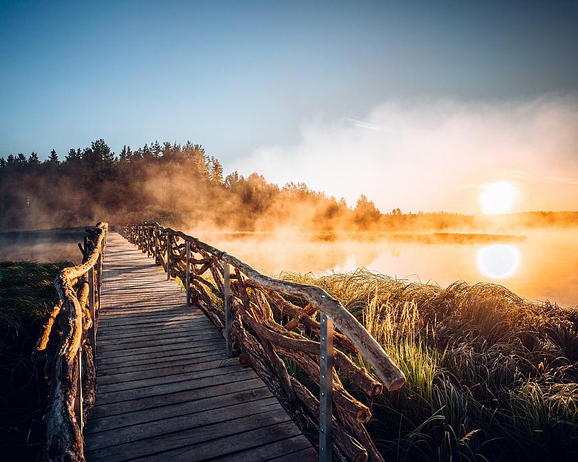
Should you fancy a personal taste of the real Šumava nature, take the train from Český Krumlov in the direction of Nové Údolí and get off at Hodňov (about 40 minutes). You will find yourself on the embankment of a large body of water, which the uninitiated might consider to be the Lipno lake. However, it is "only" a pond called Olšina. It makes it all the more interesting. Olšina represents several phenomena of Šumava nature at once - wetlands, peat bogs, wet forest and many others. Thanks to the decades-long inaccessibility of this area (military area, opened only in 2016) you have the opportunity to get to know the typical Šumava nature in its pure form, almost unchanged by human activity.
Olšina educational trail
The nature trail loop can be accessed on the western bank of the pond at the information centre at the recreation centre of the Military Forests and Estates, where there is also a restaurant and accommodation. Natural materials have been used as much as possible in the construction of the trail - wood for the construction of walkways and bridges, wood chips for the footpaths. The trail is exactly 7,322 metres long and is accessible all year round and can also be used by people with reduced mobility.
Important notice: the nature of the trail’s surface and its accessibility varies depending on the season and the weather. Keep in mind that (especially in the rain) some parts of the trail may be far from comfortable - appropriate footwear for (soft) terrain and clothing are quite appropriate. You can find out in advance about the current situation on the trail on the website.
Interesting fact: In 2021, the Olšina Visitor Centre won the public vote in the Wooden Building of the Year architectural competition
More about the trail on Military Forests and Estates website →


